| Sights & Day Tours |
Here some more informations from Dimitri Fernando with photos and comments from the webmaster.
Nested in the Bosom of the Hills
"... If one has the time it is certainly worthwhile to take a drive along Dambatenne Road as it is one of the most scenic stretches of road in this country. This six mile stretch of road ends in a cul-de-sac on the other side of the Poonagala-Ampettikanda range. Far down in the valley below, is a gigantic gap between two mountains, and everywhere there are streams and waterfalls and hills that rise up majestically to over 6000 feet. Beyond and below the gap is the road to Koslanda and Wellawaya and around it the basin of one of the mainstreams of the Walawe river. Above the road and to its left is the Haputale Forest Reserve, which is well served by streams and is ideal for camping, except during the rainy season or in January or February, when mist reduces visibility almost to nil.
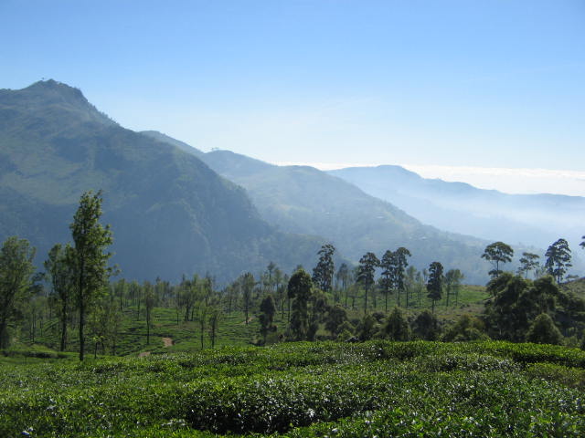
View to Lipton Seat, Estates of Thotulagala, Pitaratmalie and Dambatenne and down to the Plains around Koslanda.

Five miles from Haputale is Idalgashinna, a tiny hamlet on the railway. At a height of about 5300 feet, it boasts a truly spectacular view on both sides of the railway line. To appreciate the beauty of the place, one needs to get off the train and spend at least a few hours absorbing the tranquillity of the place, perhaps seated at the top of the small hill behind the station as I did. The view from the top of the hill is magnificent, and I could see the mist rising up from the valley below into my face. The sound of the mist and wind among the trees evokes images of pine trees murmuring the timeless beauty of Idalgashinna. The hills fall perpendicularly downward and a false step could easily send the unfortunate plunging downwards to their death.
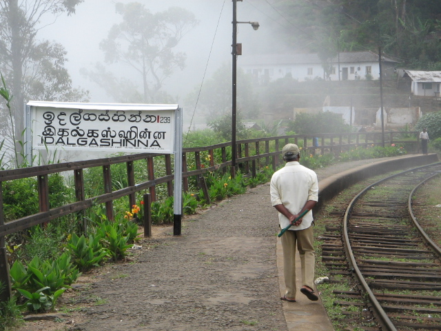
Idalgashinna Railway Station
It is an enjoyable walk along the railway line back to Haputale. Stretching for five miles between Haputale and Idalgashinna is a little known nature reserve - the Tangamalai Wildlife Sanctuary. Not many large animals are to be seen, but birds of bright hues can be seen in profusion.
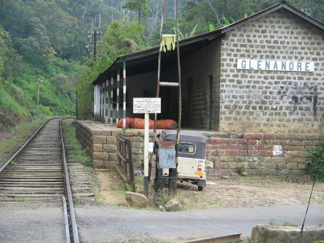
Glenanore Railway Station (goods only/not in use)
From behind the railway station, a gravel track takes off, skirting the other side of the ridge, traversed by the railway line on its way to Ohiya. Five miles beyond, it joins the Boralanda-Ohiya-Kalupahana road, two or three hundred yards below the Ohiya Gap.
About three miles below Idalgashinna station, the southern slope of the range and surrounded by the Needwood Tea Plantation is an old abandoned fortress, the Kotugodella Fort, at an elevation of about 3800 feet. The Portuguese once attempted to use the Idalgashinna Pass to force a way into the Uva. Hardly anything of the Fort remains today; a few scattered stones and the semicircular outlines of ancient bastions are the only reminders that such a majestic structure once stood there.
Those who love walking could take a hike from Haputale to Ohiya station which sits at an elevation of about 6000 feet. The Ohiya Pass is not as scenic as the passes at Haputale and Idalgashinna, since the view is only on the southern side of the range, the other side being in forest. From the head of the Gap to the station is a stretch of two delightful miles through avenues of eucalyptus, and cypress. The Gap looks out to the Horton Plains massif to the right and over the steep descent to the main road to Haputale below. Far down in the valley below is the 4900 foot peak of Bambaragala. If one is taking the train from Bandarawela to Ohiya, there are two trains at 7.20 a.m. and 10.20 a.m. The only train from Ohiya back to Bandarawela or Haputale is the "Podi Menike" which arrives at Ohiya station at about 2 p.m. If one misses this train, it becomes necessary to take the bus to Nuwara Eliya and from there take another bus to Bandarawela or Haputale.
Ohiya Railway Station
The Ohiya Gap may not be as spectacular a sight as the Haputale and Idalgashinna passes, but is distinct in its utter loneliness, where one may not meet more than half a dozen people in a whole day.
From the station there is a dirt track leading upwards where 11 kilometres later it leads to the Farr Inn, a popular stop before travellers venture out into the beautiful and desolate Horton Plains. This area is haunted by many species of deer and if one is lucky, at night, one might see sambhur (elk) as well.
Another way up to Horton Plains is a closed jungle trail - some km west alongside the railway track - left side up infront of the first tunnel. Beware! - There will be nobody else then you and some monkeys in case of emergency!
A 14 kilometre walk, along the railway track from Haputale to Pattipola, the highest station in Sri Lanka, takes the hiker through utterly desolate landscapes with blue and red gum trees and winding vines with almost luminously blue-green leaves that entwine around taller trees. There is not a soul to be seen, and the atmosphere is often misty and at times visibility reduces to a few feet ahead of you. If one decides to do this hike, it is advisable to take a good torch, as many of the tunnels are quite long and walking in the darkness could lead to sprained ankles or worse.

Potipola Toplevel 1898 m
Close behind the Haputale station is the Buena Vista Hotel, a grand old hotel of bygone days perched on the edge of the mountain, which sadly has been converted into an office. Below the station can be found a house that used to belong to Sir James Peiris.
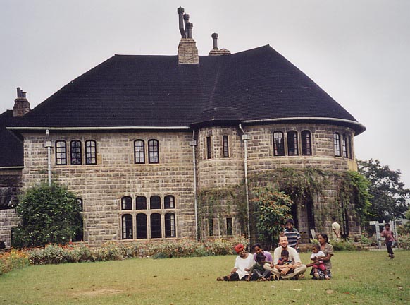
A few kilometres ... one comes to a turnoff leading upto the monastery of the Sylvestro Benedictine monks, called Adisham. This large stone building, initially built by Sir Thomas Lester Villiers(1931), a tea planter, was sold in 1961 to the Benedictine monks. Novices are trained for a period of a year at this monastery. There are a few rooms for occupation by outsiders, but these are kept strictly separate from the quarters of the novice monks. „There are many sightseers who come here and make a big disturbance and even shout at us if we don´t show them round the entire building, including the quarters of the monks which are strictly out of bounds for visitors,“ said Rev. Fr. Bernard Ramanayake, Father Superior of the monastery. Those who wish to spend a few days in the quiet environment of Adisham, must write to Father Bernard who would then consider the request. The gates are closed at 4.30 p.m. after which no outsiders can enter the premises. Residents need to tell the monks if they are going to be out late."
Adisham Monestary - follow the shortcut from the Railway Station to Temple Road about 2.6 km, than turn left and walk 1.2 km through the forest.
More Sights
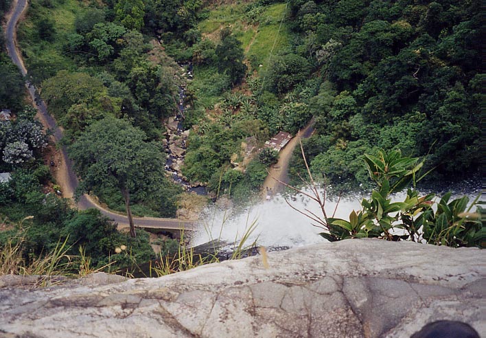
Diyaluma Fall (170 m Bird Eyes View down to Koslanda Road)
Double Bridge (near Kalupahana/junction to Bambarakanda Fall)
Doha
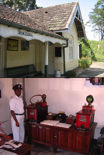
Demodara Rail Turn
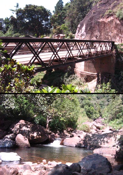
Bogoda Bridge
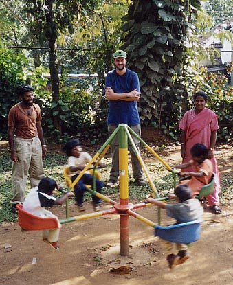
Badulla Children Park
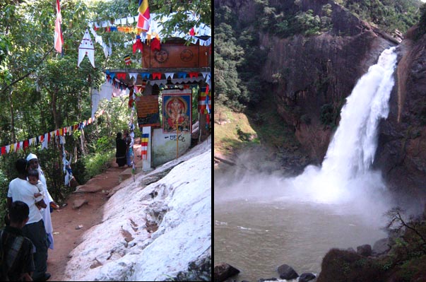
Dunhinda Fall Badulla (60 m)
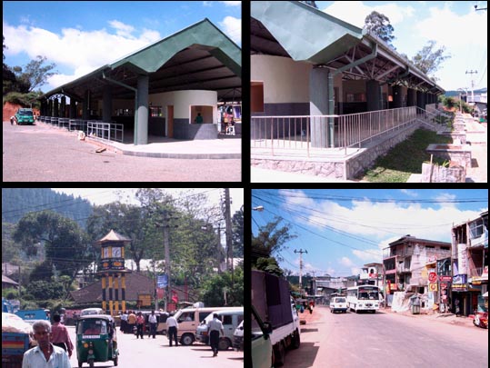
Diyatalawa Town and New Bus Stand
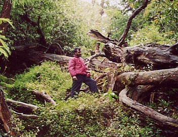
Ohiya Jungle Trail up to Horton Plains

Pottipola Railway Toplevel 1898 m

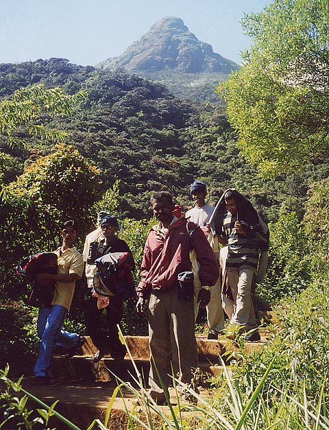
Adams Peak - Sri Pada
Kandy
Arugam Bay, Crocodile Rock Lagoon
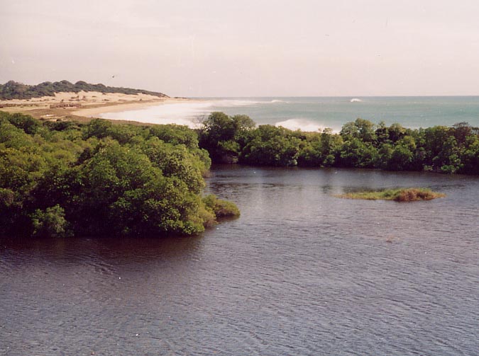
Get by van to Arugam Bay within 5-6 hours and walk 30 minutes down south to this crocodile lagoon.
Welcome - About Haputale - Guesthouses - Hotels&Bungalows - Restaurants - Taxi&Travel - Bus&Train - Internet&IDD - Sights - Trekking - Books - Contact - Festivals&Holidays - Flora&Fauna - Holy Places - Links - Maps - Offices - Photos - Schools - Shops - Social Projects - Tea Estates